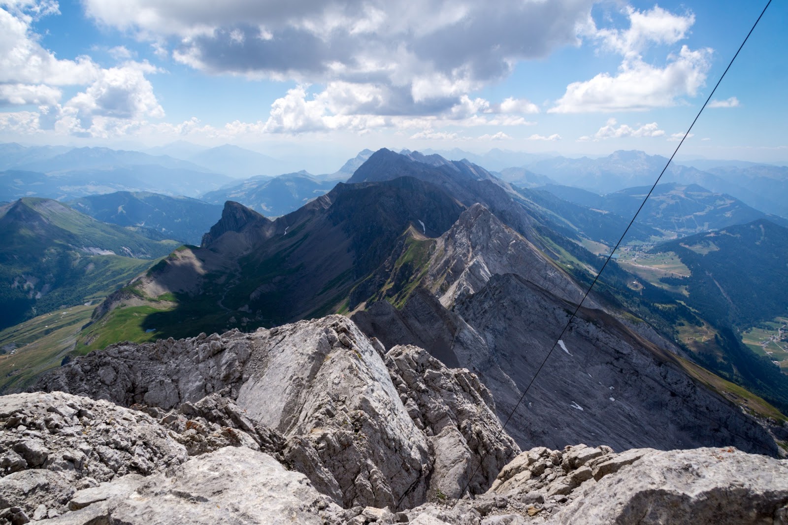
Holy Graal of Aravis - Pointe Percée. The first time I heard about this mountain was 2 years ago in winter when one of my colleagues proposed to hike it in ice and snow. I was wise enough to turn down this offer but put my focus on this mountain and started sniffing around the route. In the end, it's not that often to see a T5 hiking grade. In the next two years I heard a lot about it. That one should not underestimate it, that it is extremely difficult etc. The legend of the mountain grew strong and fearsome. At some point I even decided to check it myself from a close up and I went up Col des Verts to have a look. This is when I took the most beautiful picture from all of photos I did in mountains. But we chickened out that day and didn't hike up to Pointe Percee. But this summer is different.
There are two possible routes to Pointe Percee - a T4 one that goes up and down by the same steps; and a T5 one that goes in a loop through Col des Verts. We tried the latter. We already knew the path to the col so it went easy and smooth to reach it. A short break on the ridge and the true fun began.
There was no path as such - in principle we had to scramble the rocks all the way up to the summit. Sometimes it was a bit challanging but most of the time it was pure and utter fun for both of us. Except for maybe two very delicate and technical passages, there was nothing to fear of from my perspective.
Have a look at this short video for the notion:
And a couple of photos from the process:
Once we reached "gendarme" (a pointy rock that looks like a guard of the entrance to the other side of the mountain) we were back on a T4 path and we were only minutes from the top. Since Pointe Percee is the highest of the Aravis mountain chain, it's pretty well-known and cared for. That is why on the top there is a huge cross and even a guest book where we left our memento.
We knew that going down would be a bit of a pain on a route like that but we really didn't expect it would take as long as an ascent. But in the end, it's way more difficult to descent in such conditions than to go up. Personally, I was glad when we reached Gramusset hut and the annoying rocks ended. On the car park we entered a local farm to buy some goodies - cheese, youghurts and fresh cow milk. Yummy!
Stats: length: 9.1km; Time: 5h 20min, Elevation gain: 1200 m


No comments:
Post a Comment